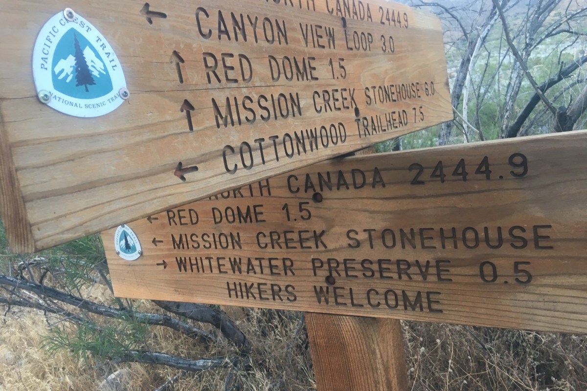
Chris set off in late April to hike the Pacific Crest Trail, hopefully in its entirety (2,650 miles). Visiting some friends and family along the way, he was able to leave our car with our friend Touch in San Diego, and arrived at the start of the PCT on the night of May 3rd. Months before, he had applied for a PCT permit, and had a start date of May 4 at Campo, on the California/Mexico border.
Chris at the start of the PCT
The PCT starts off hot and sandy, with moderate hills and few water sources in low-rainfall years. Chris hiked his way past small towns such as Julian, Warner Springs, and Idyllwild, and up and then down mountains such as Mt. San Jacinto (10,883 feet). Taking a long weekend, I flew to San Diego, picked up our car, and drove to the point where the PCT meets I-10 near Palm Springs. Thanks to the Garmin InReach GPS/SOS Chris’s parents bought for the hike, we actually timed it really well, and Chris arrived at our rendezvous only 15 minutes after I did. Having just hiked 20 miles down a mountain ridge, in an extremely windy area (known for its wind farms), he was happy to take a “zero” and a “near-o” to spend some time together, resupply his food pack, and rest his feet. We also visited Joshua Tree National Park (although, he was not interested in hiking any trails there… I wonder why).
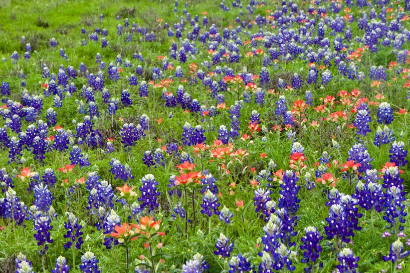
I am originally from Texas, but moved away in 2003. Last year we returned to live in Texas, so we decided to go to Big Bend National Park over my Spring Break. With some reports of the Covid-19 contagion coming in, we decided to pack our own food for the trip and to camp, so as to be able to isolate ourselves as much as possible. We left the Austin area and drove across the beautiful central hill country, where the sides of the highways and byways are carpeted with bluebonnets during the month of March.
Ever since Lady Bird Johnson was First Lady, the Texas Department of Transportation has sown more than 30,000 pounds of bluebonnet seeds around the state annually.
Before entering Big Bend, we took a spin around the town of Marfa, a place I had heard of (due to the mysterious “Marfa lights” and also from their reputation as a Bohemian artists’ colony). I wish we could have stayed in town and eaten there, but we were already heeding warnings to not bring any outside germs into small rural communities so we just did a pass through.
With a population of only 1800, you stand a good chance of exploring all of Marfa in a long weekend. Keep an eye out for celebs like Matthew McConaughey
We spent the first day at Big Bend driving the scenic Maxwell Drive, which is essentially the west half of the park. We headed all the way to the Mexican border, where we hiked into the Santa Elena Canyon, fording an off-shoot of the Rio Grande River. The area was busy with hikers and kayakers, but people were staying a fair distance apart. The amazing effects of the eroding power of water were on full display in the canyon, with 1500 foot towering cliffs on either side of us.
Santa Elena Canyon
Chris hiking up the Santa Elena Canyon
Deah fording an offshoot of the Rio Grande to get to the Santa Elena Canyon viewpoint
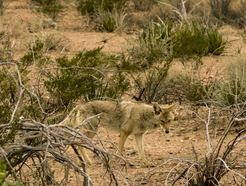
Later, we drove the Chisos Basin drive. It was approaching sunset and there were some beautiful views. On the way out of that area, we spotted a coyote and were able to snap a pic. We also spotted some golden eagles flying around and Chris got a nice shot of those.
Spotting the wildlife around the park
A Golden Eagle
We camped near the ghost town of Terlingua. There are a number of cabin rentals, small hotels, bars, and restaurants there. Of course, they are most famous for their annual chili cook off in November. We had our own dinner to cook at our campsite so we just took a drive through town to see the dusty sights.
Terlingua: population 2,000 but this small town swells to over 10,000 annually with the chili cookoff
High on a hill overlooking the road into Terlingua
The next day we explored the eastern half of Big Bend. We made up a breakfast at the picnic tables at Dugout Wells. There we encountered a woman waiting for a scheduled ranger talk, but soon found out that the visitor’s center had been closed and all ranger talks and guided walks were canceled for the time being (campgrounds still open for the week). We continued our drive all the way to the eastern end of the park, to the Rio Grande Village, and hiked a bit into the Boquillas Canyon. Along the way, we saw small homemade souvenir “caches” of trinkets made by residents of the village of Boquilla, Mexico (you can leave the money in a jar and they come collect it later). We were serenaded across the border river by a man with a wonderful singing voice, his song echoing across the canyon. In normal operating times, if you bring your passport (kids just need a birth certificate or proof of citizenship) you can cross the river at Boquillas Crossing ($5 rowboat round trip) and have lunch and explore the small Mexican village. However, the crossing was closed this week.
A small souvenir stand
Recent rains had the cacti in full bloom while we were there
Along the southeastern edge of the park, we were able to hike to and enjoy a hot springs. Many years ago there were actually cotton plantations in this area, with dozens of workers and a somewhat-thriving industry. In fact, in the 1860s they even imported 30 camels and their handlers from North Africa to use to explore and patrol the area!
A hot springs built on the sides of the Rio Grande River
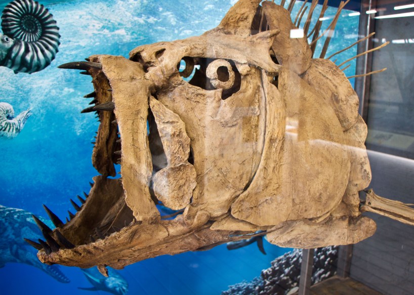
With more and more dire news coming in every time we stopped to check messages, we decided to cut our trip short and head home. We made one final stop on our way out of the park at the Fossil Discovery Exhibit (built in 2017), where some of the largest fossil finds in the US have occurred. Over 1200 fossils spanning 130 million years of geohistory have been found there. You can see a replica of some of the largest dinosaurs that ever existed, such as the Tyrannosaurus Rex, the Deinosuchus (an alligatoroid bigger than a school bus!), and the Quetzalcoatlus northropi (the largest flying creature). Fossil finds from all three giants have been found in the park’s perimeter.
Xiphactinus, a giant spiny fish from the Late Cretaceous Era
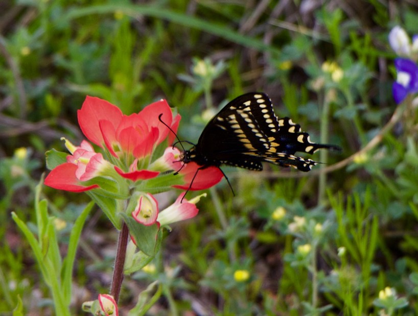
We exited the park via the Persimmon Gap entrance, and spent one more night in the area, and drove home the next day. The bluebonnets, Indian paintbrushes, and other wildflowers were a welcome sight to us as we headed home to make a decision about Chris’s Pacific Crest Trail hike plans.
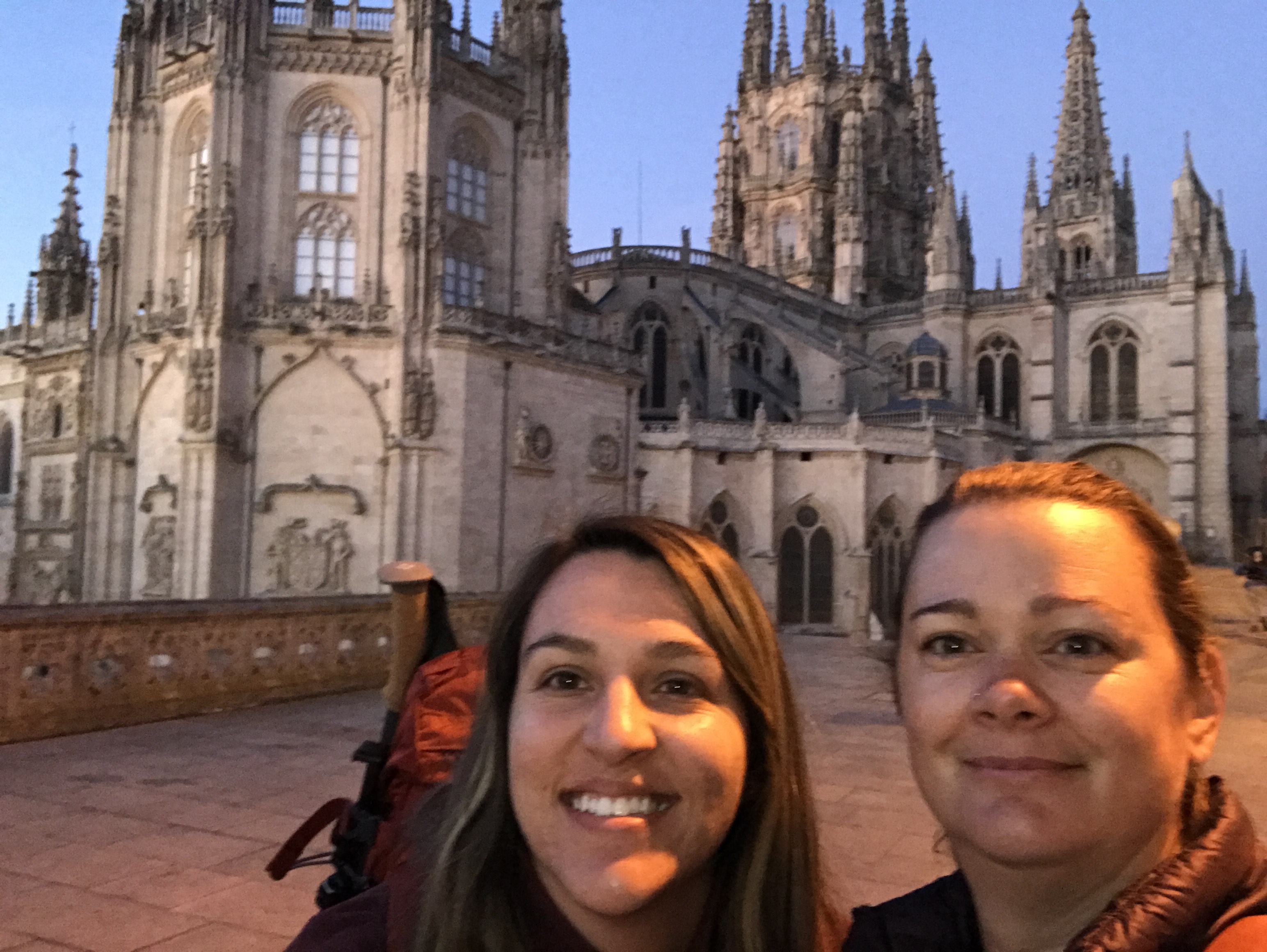
I had a few weeks’ time to fill in May, so I decided that I would hike the Camino de Santiago across Northern Spain. My husband Chris had done it two years ago, and he said it was great, I’d love it, after our Nepal hike it would be a breeze. So I flew to Madrid and took a bus to Burgos and got started.
A dawn start from Burgos with my new friend Araceli
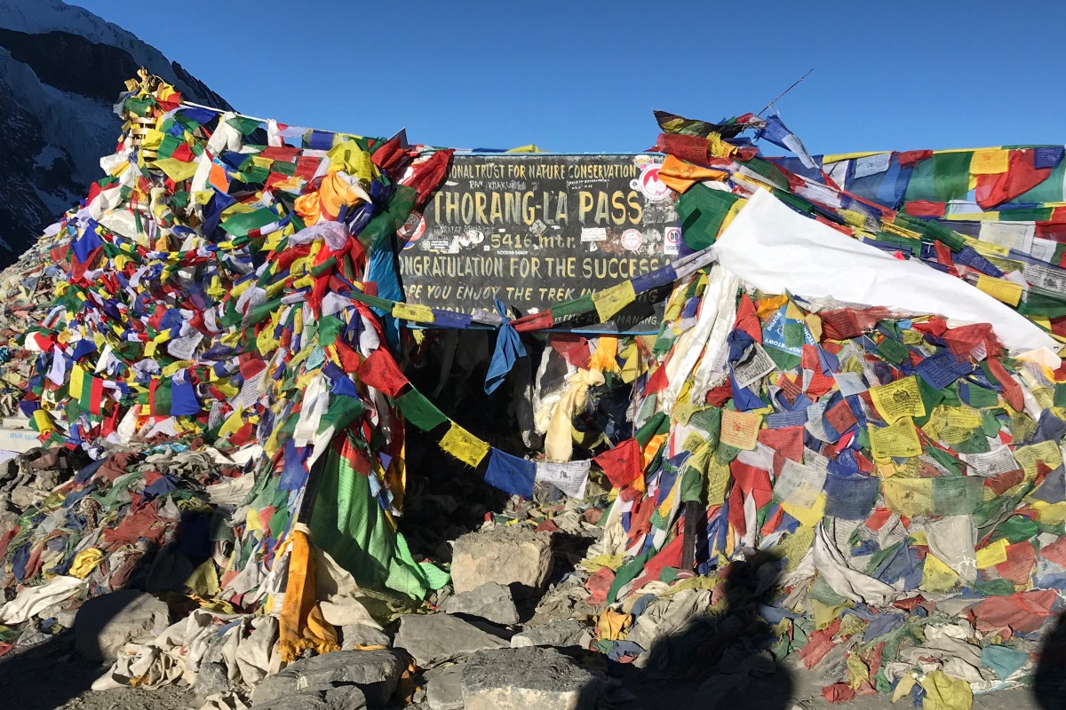
Here’s the run-down from our two weeks of trekking the Annapurna Circuit in Nepal (if you want to read about our trip to Nepal as a whole then click here).
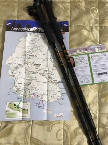
After securing our TIMS (Trekker Information Management System- in case you disappear and they need to go look for you -2000 rupees/ $17) and our ACAP permits (Annapurna Conservation Area Project- 3000 rupees / $25) in Kathmandu, we stocked up on a bit of gear in Thamel, the tourist zone in Kathmandu. On every street corner are stalls selling both real and counterfeit North Face, Jack Wolfskin, Quechua, and Columbia, all at a fraction of the cost in the US. It’s all too easy to pick up an extra puffy coat or a sleeping bag here for perhaps $15-20 USD.
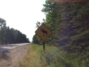
“Maine: The Way Life Ought To Be”. Also, really freaking hard. The Maine section of the AT is filled with ups, downs, rocks, roots, mud, and moose poop. Like literally every step is either a rock or a root (or both; somehow these trees manage to grow on rocks), or it’s a muddy bog, or there’s just piles and piles of moose droppings at every turn. There must be more moose in Maine than people. And in case you’re wondering how I know, yes, I do hike a mile or two with Chris in the mornings when I drop him off or in the afternoon when I pick him up.
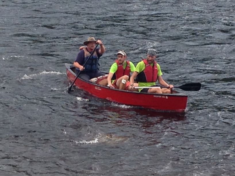
Moose crossing!Kennebec River Ferry Maine: “The Way Life Ought to Be”
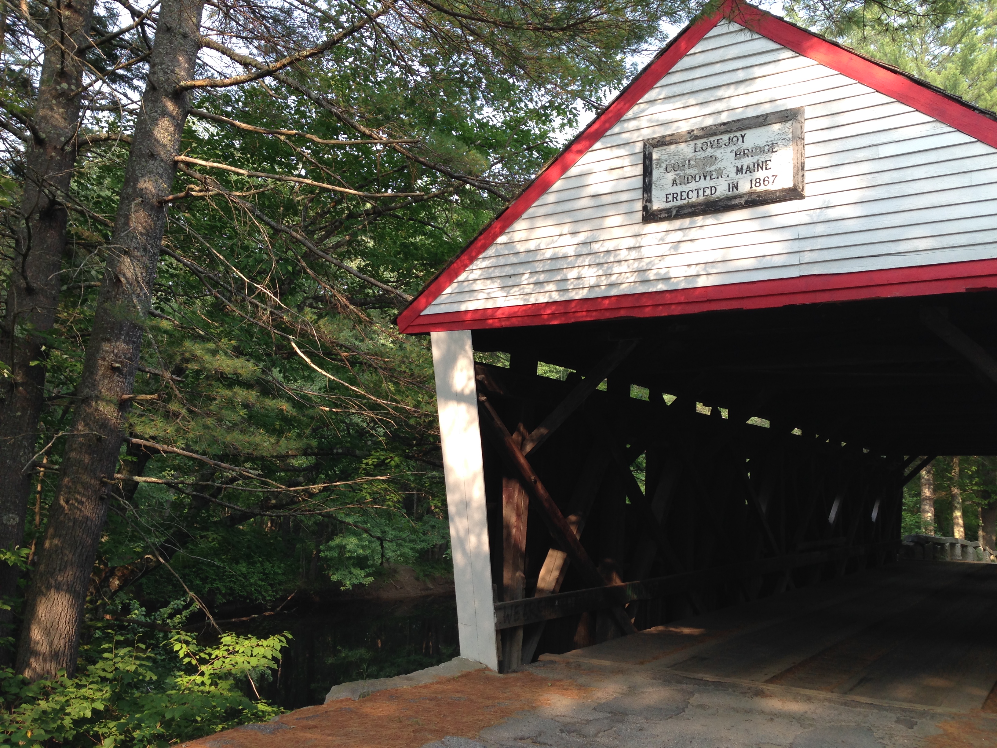
The trail towns in Maine are Andover, with it’s cute little library and the Pine Ellis Hostel and their cabin down by the covered bridge; Rangeley, with it’s beautiful lakes and the awesome Rangeley Farmhouse Inn (hello Stacey and Shane, you guys were the best!!); Stratton, home of the Stratton Motel and the Wolf Den Bar and their infamous and slightly gross Wolf Burger; Caratunk, home of the Kennebec River ferry, and finally Monson, the site of The Lakeshore Lodge and Rebekah “Double Zero”, so named because so many people stop at her lodge and take two days in a row off the trail to recover from the last 2000 miles and prepare for the final push: the 100 Mile Wilderness.
Moose!!Stratton Maine Stratton Maine Andover covered bridge
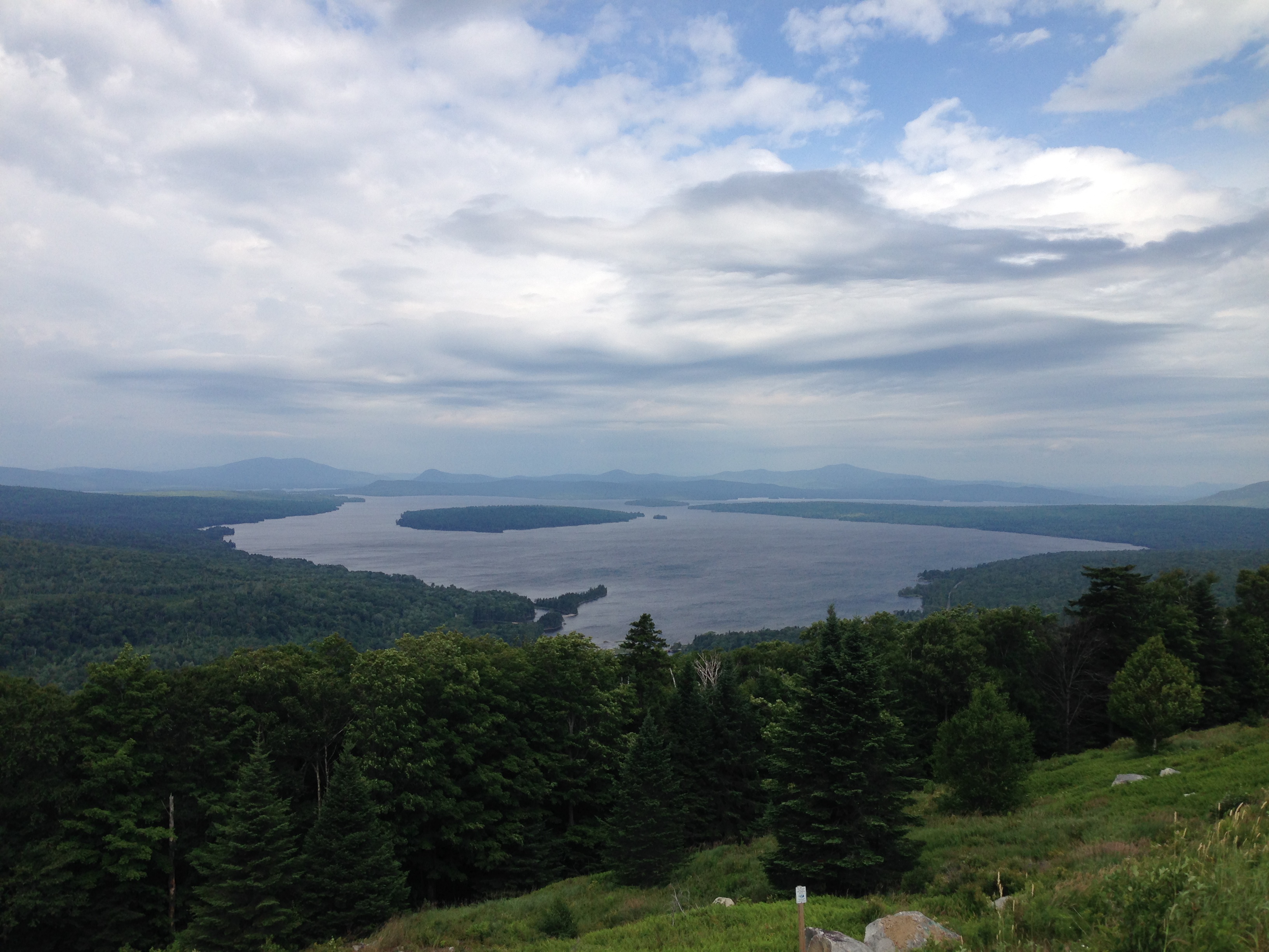
While Chris started the 100 Mile Wilderness, I hung out with some travelers taking a zero, such as Trip and Sisyphus, and we went on a boat ride on Moosehead Lake (a three hour tour!!). Very nice lake filled with some 134 islands, many of which have a fishing cabin on the island or even in some cases a lake home. A lovely region- if you are ever in Maine, I truly hope you are able to get over to the lake side and not just the coastal region. Although I’m sure the coastline is amazing too. We’re going to check that side out on the way home.
Maine Lakes Region
While Chris was in the wilderness, I drove to the end at Millinocket and saw some old trail friends that we hadn’t seen in a while. Yay, for seeing Tittycakes, Geared Up, and DaVinci after they summited the peak!
Tittycakes, finished!
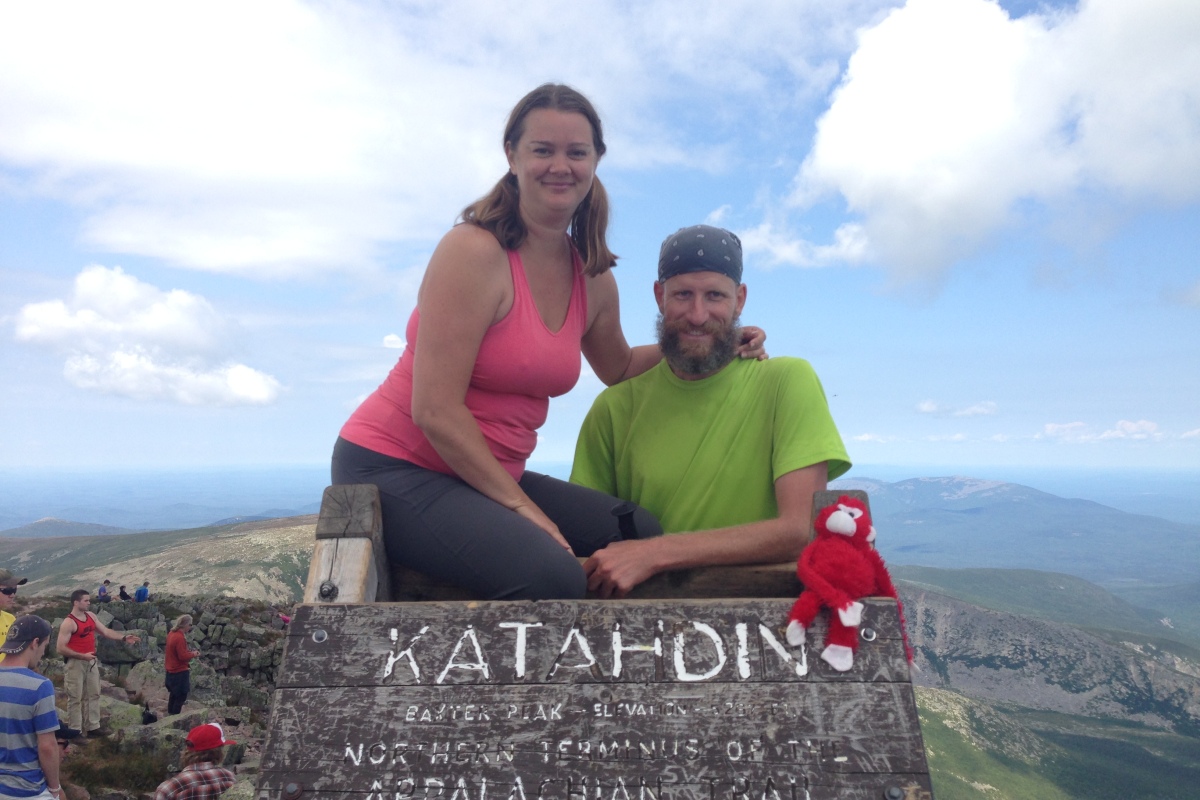
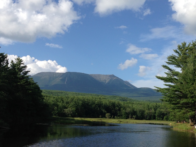
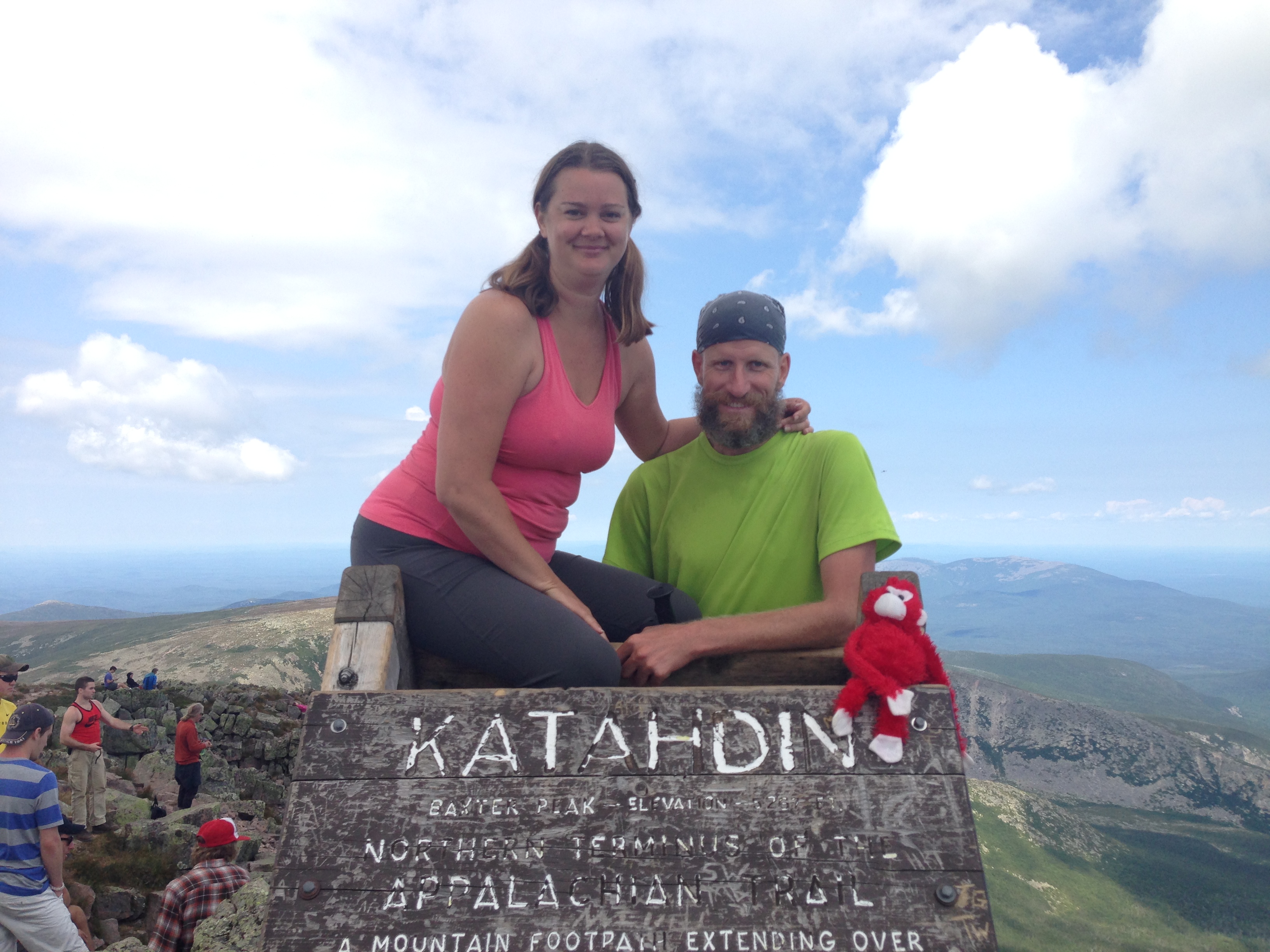
Finally Chris came out of the 100 Mile Wilderness (it took him 5 days), and I was waiting at Abol Bridge Campground. We had dinner together and went to sleep early, as we were summiting Katahdin Mountain the next day. I drove to the base of the mountain, getting a head start on Chris, who had to hike the final 10 miles to the mountain AND do the climb while I just started the climb. It’s five miles to the top, which is at an elevation of 5, 260 feet. It took me five hours to get to the top. It was the scariest climbing I’ve ever done (well, I’ve never really done any rock climbing, which is why my arms, shoulders, and back are still hurting like hell today, three days later). It was so hard!! I cannot emphasize this enough. For a beginner like me, it was definitely the wrong mountain to try for my first attempt. For Chris and the other AT hikers, they did concur that it was the hardest mountain they had hiked/climbed on the AT. But finally, after five hours, I made it to the top (Chris caught up to me even with his extra 10 miles to get there).
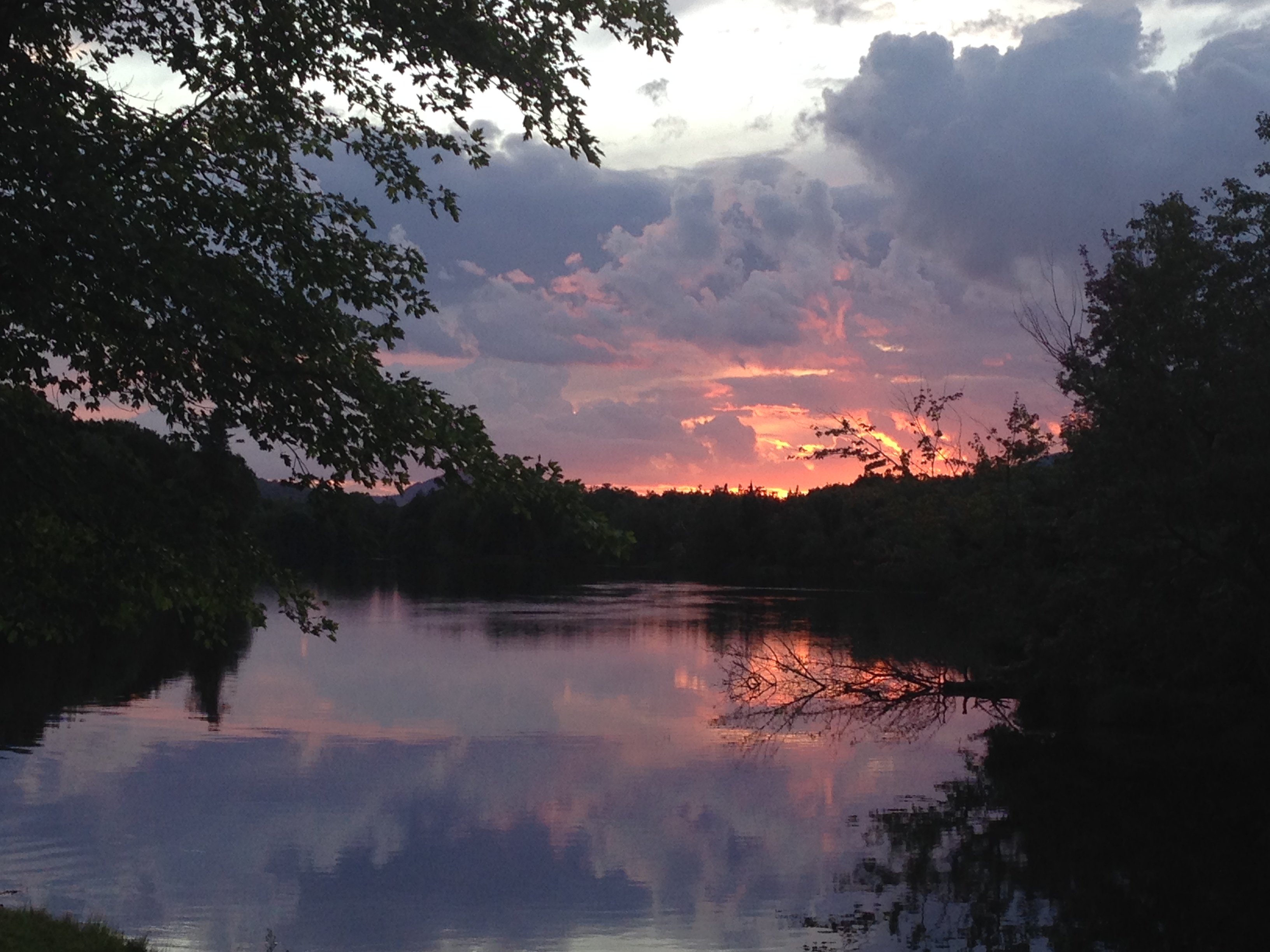
Katahdin Mountain Sunset at the Abol Bridge Campground
We saw fellow hikers Lunch, Haiku, and Hiker Monkey up there. We all posed for the requisite photos, rested a bit, and then we had to do the descent…. which was even more terrifying!! Seriously!! Chris had to fireman carry/bear hug me down one tricky bit- I completely froze up and couldn’t move. But finally (after another five hours), we made it down. And so, the Appalachian Trail is completed. It took Chris 134 days, 3 hours, and 34 minutes to complete. Officially he was #186 to finish for the year. Although, that number is a bit inflated, because not everyone who hikes in to Baxter State Park and says they are a thru hiker really is one. But close enough. It’s done, and now we can go on to our Around The World Trip. We’ll be heading to Nova Scotia, New Brunswick, and Prince Edward Island in Canada, then back to DC for a quick stopover, then it’s off to Australia and new adventures!
Finished!Lunch, Trail Bunny, and Haiku AT Rock CairnChris at the top!!