Chris Hikes the Continental Divide (pt 2)

This year, Chris spent July back on the trail, continuing north along the CDT. I dropped him off at Chama, New Mexico, hiked the first mile with him, and then he continued north, while I took the car to visit a friend in Durango. A few days later, and 70 trail miles later for him, I met up with Chris at Wolf Creek Ski Area, and we had a zero day in Pagosa Springs. We visited the local Walmart, had a delicious sandwich at The Peak Deli, bought some new hiking shoes at Foot Prints, and spent the afternoon at The Overlook, a fun mineral bath house that features over a dozen hot tubs and pools, all at different temperatures. Pro tip: take a hat if you want to spend time in the pools up on the roof overlooking the town!

A day off-trail spent at a mineral bath is a day well spent!

After his time off-trail, I left Chris at Wolf Creek Ski Area, and I drove up to South Fork to chill for a couple of days while he hiked. It’s a cute town and I enjoyed my stay at the Spruce Lodge. I took advantage of the fair weather and went on a short hike of my own. There’s also a neat “rail bike” that runs along the Rio Grande River between South Fork and Wagon Wheel Gap, through the Coller State Wildlife Area. Of course, hunting and fishing, hiking and riding ATVs are highlights of the area too. I bet this area is hopping during the snow season! The pizza at SoFo Pizza is worth a stop, in my opinion.
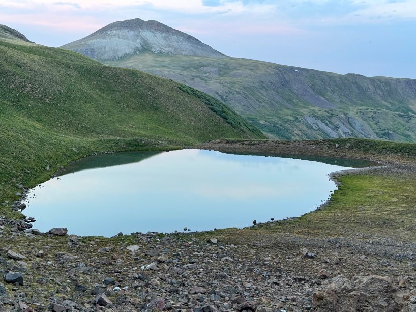
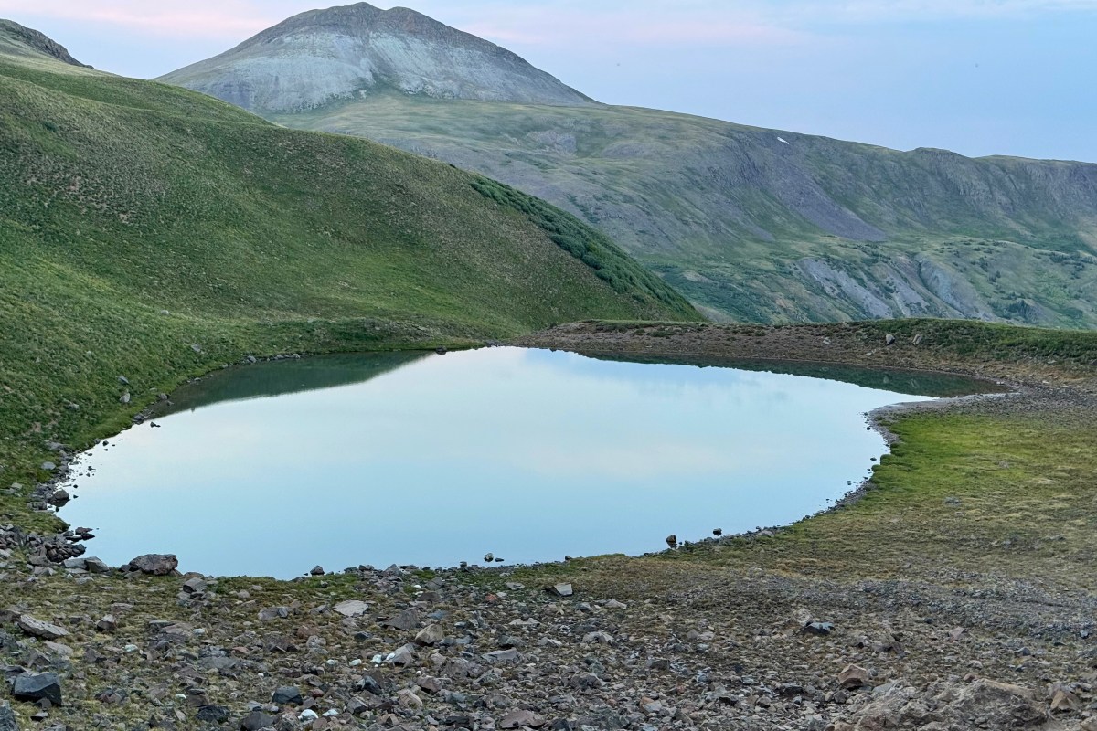
A beautiful alpine lake along the trail

Our next rendezvous point was just a few miles outside of Creede. I arrived a little early at our agreed-upon spot, and set up my hammock to wait. A half hour or so later, I saw Chris clopping down the trail, having finished another 40 mile stretch. I bundled up my hammock and we went into Creede for lunch. Creede, a historic silver mining town, is one of my favorite small towns in Colorado. It has a handful of bars, restaurants, outfitters, art galleries, and even a drama reportory. There’s often a festival or event happening in town in the summer months. But plan ahead, because there are only 3 or 4 small hotels there. There are no major hotel chains, but there are lots of Airbnbs. They can get pretty pricey though.
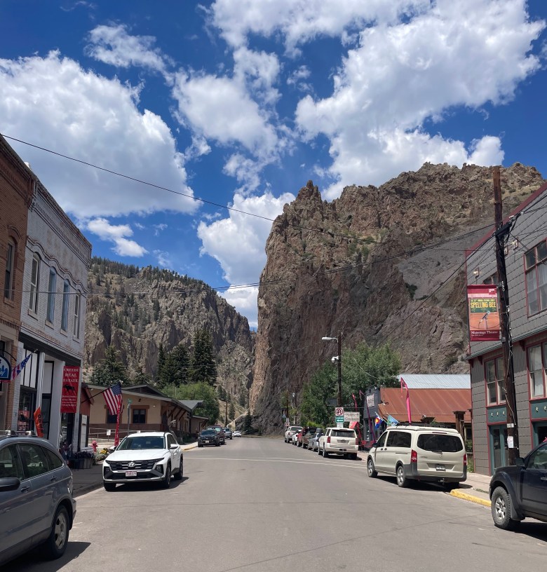
Historic Creede, with hills full of silver

Chris stayed with me for a day in South Fork, resting his feet, and then I took him back to Creede so that he could reverse “slack-pack” a particularly brutal uphill climb out of the town. We drove up to the top of the 10-mile Bachelor Loop and he walked the trail southbound, heading back down into Creede without his heavy backpack. I visited a few shops and bars in town (fantastic ice cream) and picked him up a few hours later. The next day, we drove up to the same spot and he continued north, but at least he didn’t have to do four hours of uphill climbing to get there. Plus we got to see a momma moose and her two calves on the road.
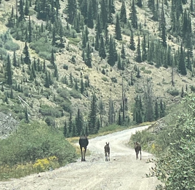
Drop off point, elevation 9,000 feet

Chris’s knee had been hurting him all through this stretch of Colorado, but he finished up one more 30 mile section between Creede and Cochetopa Pass. I thought about staying a night in Saguache, but after visiting the tiny town and their slightly creepy museum, I decided to wait at Gunnison for Chris to arrive. I have to say, the drive between Cochetopa Pass and Highway 50, as it winds through a river valley, is quite lovely. But since we were a ways into July, the days were getting pretty hot (although the nights were still a lot cooler than we get in Texas). Next year, hopefully, Chris and our hiking friend Piñata will be able to start from Cochetopa Pass and head north a little earlier in the season, in mid-May, and avoid the heat and the fires that were burning near Leadville and other parts of Colorado.
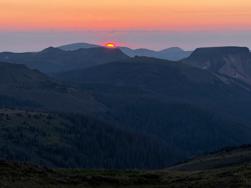
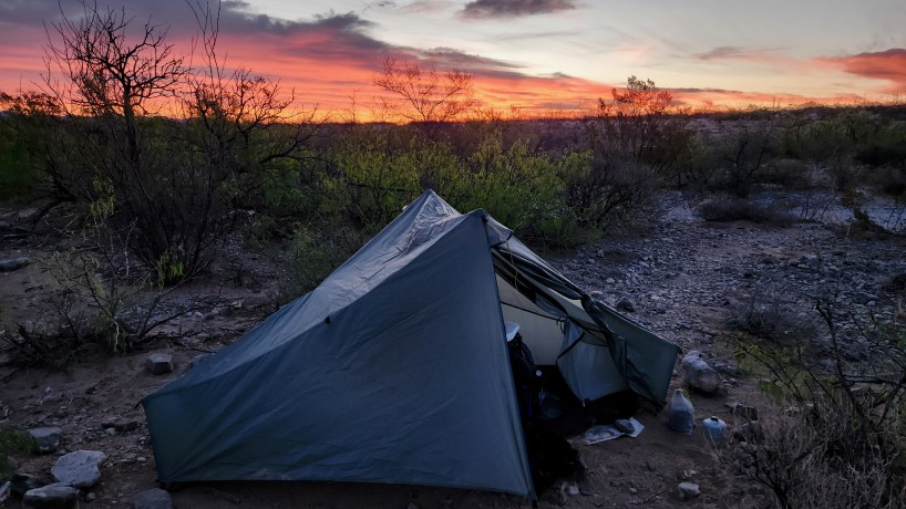
Another beautiful sunset on the trail

All in all, Chris managed another 200 miles of the CDT, bringing his total to over 1000 miles on the trail so far. Check back with us next year to read more about his hike further north, or click here for the post about the Arizona sections, or here for posts about the Appalachian Trail thru-hike of 2014 or the Pacific Crest Trail thru-hike of 2021.
Hiking the Continental Divide Trail (New Mexico)

This past month, one half of the Palm Tree Musings duo started a section hike of the Continental Divide Trail. Having previously completed a through-hike of both the Appalachian Trail and the Pacific Crest Trail, Chris decided to try a section hike for this next adventure. Here’s the particulars of the first 400 miles, all of which are in the New Mexico section of the 3200 total miles of the trail, which spans five states.

Getting Started

Chris started his hike at the Mexico/New Mexico border near Hachita on April 23. To get there, he took a Greyhound Bus to Lordsburg, New Mexico, and then arranged for a hiker shuttle to the starting monument, as well as a couple of water caches in the desert. Over the next week, he and his hiking partner Piñata hiked across flat desert and arid mountains to get back to Lordsburg, where I met them for a day or two of rest and relaxation in Silver City.

Long Haul and Piñata, at the start of their hike
Chris’s new ultra-light tent
Some parts of the trail are paved, some are dirt roads, and some are barely-there paths through the mountains

The Trail Town of Silver City

Silver City is a fun trail town to visit and take a zero day (Lordsburg is not). The main street of town features a dozen or so restaurants and bars, as well as a grocery, a small museum, several vintage thrift shops, and other fun things to explore. There are several motels, Airbnbs, and hostels in town, and pretty much any day in April or May you’ll see other hikers in town resting up. Silver City Post Office and Urgent Care Clinic are easily accessible and had great customer service (we visited both). The three of us enjoyed our Airbnb, trivia night at the Little Toad Creek Brewery, and a visit to the nearby Gila Cliffs National Monument. It was a welcome rest from the trail, as well as our anniversary (the third we’ve spent on a long distance hike) and then the hikers were off again, heading north.

Meeting my hikers just outside of Lordsburg
An afternoon at the Gila Cliffs National Monument
Resupplying from the grocery store and loading up for the next stretch

Silver City to Grant’s Pass

Sufficiently rested up, Long Haul and Piñata continued their hike, which they were planning to end around Albuquerque. They hiked through the Gila National Forest, crossing the Gila River dozens of times. Near the Cliffs National Monument, they rested a day at Doc Campbell’s Post, a hiker-friendly respite near some hot springs. From there they continued north, sleeping on the trail and hiking 20-25 mile days. The weather was getting warmer, and they often started at 6 am, stopping in the afternoon under a tree for a siesta in the hottest part of the day, then continuing for some more miles in the evening. Chris and Piñata stopped for a night in Reserve, and were able to get a shower and a rest at The Frisco Lodging and RV Park. Refreshed, they got back on the trail, but were met with some rain and even some hail near Alegres Mountain. Happily, they found a hiker’s lean-to nearby, and were able to shelter out of the weather. They dried out at the Toaster Hostel in Pie Town (which does, in fact, have two places to get pie), and then pushed on for their last leg of this section. They arrived in Grant, New Mexico, on May 19, 27 days after they started their hike. From there, a quick bus ride to Albuquerque, and they were back to civilization, no longer hikers, and ready to start planning their next section hike. Stay tuned for more information on that!

Crossing the Gila River
Any shelter will help when a storm rolls in
Official end point to this section of their hike

Have you hiked the Continental Divide Trail? Drop your best trail hints below.